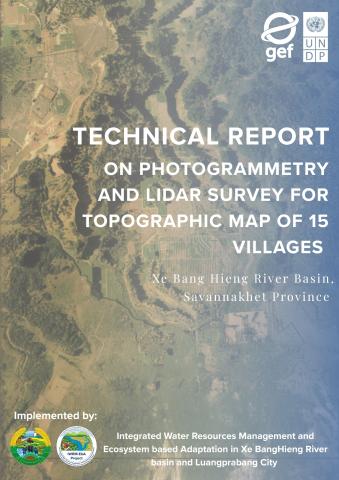
Final Report on Photogrammetry and LiDAR Survey for 15 Villages in Savannakhet Province
Topographic Mapping , UAV Mapping and Ecosystem-based Adaptation (EbA)
This technical report documents the comprehensive aerial and ground survey operations carried out by UNIQTEK CO., LTD, acting as the specialized technical consultant for the IWRM-EbA project. The development of this report and the underlying field operations were made possible through the strategic support of the United Nations Development Programme (UNDP) and the Global Environment Facility (GEF). Executed between March and July 2024, the mission served as a critical data-gathering phase for the Integrated Water Resource Management and Ecosystem-based Adaptation (IWRM-EbA) initiative. By focusing on the Xe Bang Hieng river basin, the survey provides the foundational topographic data necessary to address the region's increasing vulnerability to extreme weather patterns, specifically devastating seasonal floods and prolonged droughts.
The methodology employed a sophisticated dual-technology approach, utilizing both UAV-based Photogrammetry and LiDAR (Light Detection and Ranging) sensors. LiDAR proved particularly essential for this terrain, as its laser pulses can penetrate dense tropical canopy to reach the forest floor, allowing for the creation of highly accurate Digital Terrain Models (DTM). These models strip away vegetation and man-made structures to reveal the true shape of the earth, which is a fundamental requirement for simulating how water moves across the landscape during high-flow events.
Covering a vast expanse of over 20,000 hectares, the survey teams operated within five distinct districts: Songkhone, Champhone, Xonnabouly, Xepon, and Nong. The resulting datasets include high-resolution Orthophotos—distortion-corrected aerial images—and Digital Surface Models (DSM) that capture the elevations of all features, including buildings and trees. This granular level of detail ensures that local authorities and the Ministry of Natural Resources and Environment have the precise metrics needed to design effective infrastructure and early warning systems.
Ultimately, the outputs of this survey are designed to facilitate climate-resilient land use planning and the development of advanced flood forecast maps. By integrating this topographic data into hydraulic models, stakeholders can better predict which specific village assets are at risk during a storm, thereby protecting livelihoods and enhancing the long-term sustainability of the ecosystem. The successful completion of this field and office work by UNIQTEK marks a significant milestone in the UNDP-GEF initiative to bolster the climate defenses of southern Laos