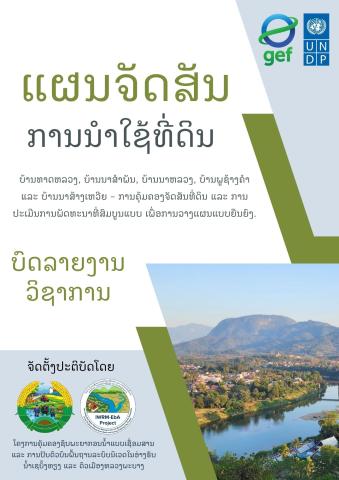
The land-use planning and boundary demarcation reports for Phouxangkham and Na Samphan villages serve as an official spatial and environmental governance framework designed to advance ecosystem-based adaptation within Luang Prabang City. Prepared by the Department of Natural Resources and Environment (DoNRE) of Luang Prabang Province under the Integrated Water Resource Management and Ecosystem-based Adaptation (IWRM-EbA) Project—supported by the GEF, UNDP, and MONRE—this initiative addresses spatial land allocation, natural resource preservation, and territorial boundary security across two distinct urban-adjacent communities. The documentation records formal administrative endorsement, including Mayor Viengthong Hatsachanh's Decision No. 205/JNo-Lp approving the spatial plan for Phouxangkham Village following proposal submissions by the Luang Prabang City Office of Natural Resources and Environment.
The reports detail complete socio-demographic baselines and spatial zoning breakdowns tailored to each community's geographical and economic context. Phouxangkham Village encompasses 284.35 hectares and supports a diverse population of 4,454 residents across 733 households, comprising Lao Loum, Khmu, and Hmong ethnic groups. Its land allocation prioritizes ecosystem stability, designating over half of its total area (50.20%) as forest land—predominantly protection forest (35.71%) alongside commercial tree plantations and conservation zones—balanced with residential construction (38.10%), agricultural paddy fields (5.80%), and supporting infrastructure. In contrast, Na Samphan Village covers 153.84 hectares across 236 households and reflects a more developed urban profile, allocating 53.05% of its territory to transportation infrastructure and 41.52% to settlement construction, supported by high utility coverage, active microfinance through the Women’s Development Fund, and high rates of security compliance.
A central achievement of the publication is its rigorous, 4-step participatory implementation framework, which integrated local community consultations, field surveys using handheld Garmin GPS devices combined with satellite imagery, public draft reviews, and multi-level institutional signatures. This process culminated in formal bilateral boundary memorandums of agreement signed between village leadership—such as Phouxangkham and Na Samphan authorities—and neighboring communities, establishing legally recognized geographic limits. By synthesizing technical geospatial mapping with multi-stakeholder governance, the report provides a operational model for mitigating land disputes, protecting critical watersheds, and fostering long-term climate resilience in urbanizing river basins throughout Lao PDR.